Building a brain for earth.
At Columbus, we want to collect the world's data, and build a brain that comprehends it all.
We're building frontier geospatial intelligence. It's pretty cool.
Data Collection
Insights, Patterns, Answers.
Introducing Columbus. The most powerful platform, to explore your next frontier.
We enable you to do location-based research differently.
Find your targets in seconds.
Find the unfound.

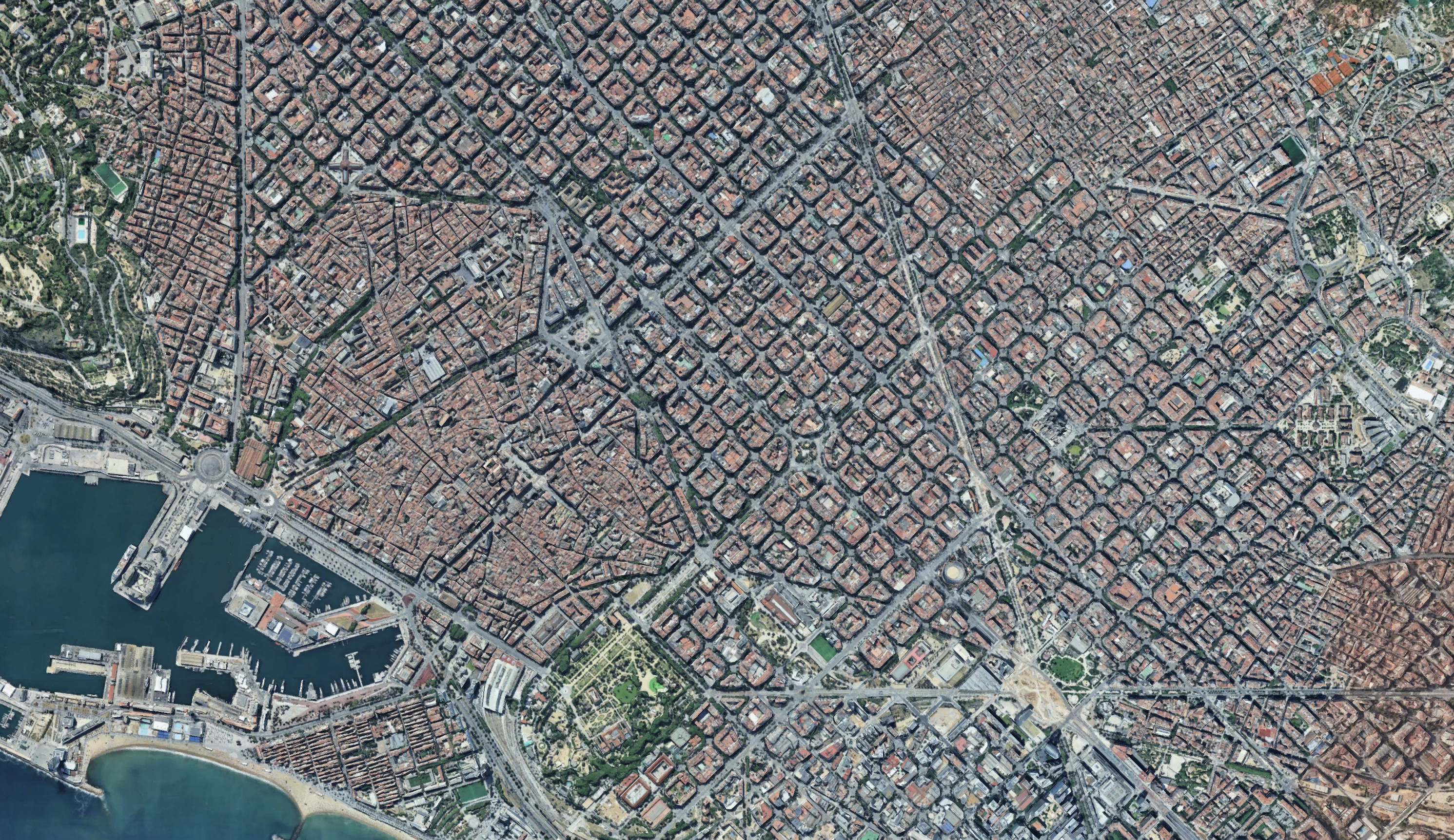
Shibuya crossing in Tokyo. The world's most busy street, densely packed with businesses and infrastructure.

The Aggregated
Geospatial Database.
We turn earth into an intelligence hub for your
research and decision making.

The Columbus Aggregated Geospatial Data system
fuses versatile data sources into one coherent picture.
Public Data
Public Ministries, partner company data, legacy data, official maps, scientific reporting, legal filings and more
Columbus Surveying
We collect proprietary data including local interviews, ground fieldwork, ariel imaging, street photography analysis, geophysics sampling, environmental and sociological research
Data Digestion
We've developed a technology that turns unstructured, broken or un-spatially paired data into useful information
Generative Layers
Our LGM creates highly accurate extrapolations, predictive future data and fills in data gaps where surveying is expensive
We turn earth into an intelligence hub for your research and decision making.
Decision-Grade Tools
A complete ecosystem for geospatial intelligence. From generative exploration to hard tactical data.
Columbus Market Spy
The ultimate competitive intelligence dashboard. Track foot traffic, pricing strategies, and customer sentiment of your rivals in real-time.
MapsGPT
Generative AI travel & discovery. Ask natural questions like "Where are the best hidden jazz bars?" and get curated spatial itineraries.
Columbus API
Integrate the core logic of our Large Geospatial Model directly into your stack. Geocoding, Place Enrichment, and Market Scoring via simple REST endpoints.
Read Documentation →